
Southern Ijaw topographic map
Interactive map
Click on the map to display elevation.
About this map
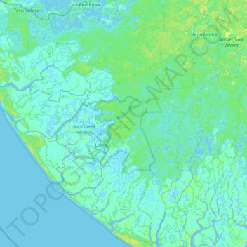
Name: Southern Ijaw topographic map, elevation, terrain.
Location: Southern Ijaw, Bayelsa, Nigeria (4.36955 5.53078 5.06025 6.23829)
Average elevation: 3 m
Minimum elevation: -6 m
Maximum elevation: 28 m
Other topographic maps
Click on a map to view its topography, its elevation and its terrain.