
Thank you for supporting this site ❤️
Make a donation
Make a donation
Modelos topographic map
Click on the map to display elevation.
Thank you for supporting this site ❤️
Make a donation
Make a donation
About this map
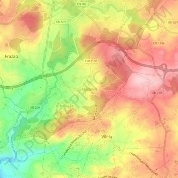
Name: Modelos topographic map, elevation, terrain.
Location: Modelos, Paços de Ferreira, Porto, 4590-551, Portugal (41.23410 -8.40543 41.27410 -8.36543)
Average elevation: 296 m
Minimum elevation: 182 m
Maximum elevation: 380 m
Thank you for supporting this site ❤️
Make a donation
Make a donation
Other topographic maps
Click on a map to view its topography, its elevation and its terrain.