
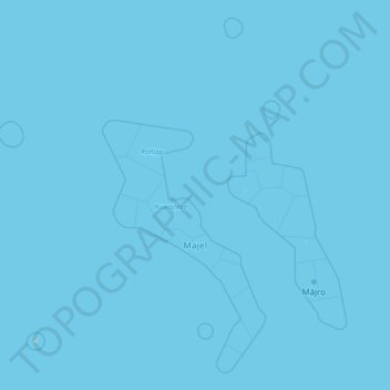
Marshall Islands topographic map
Interactive map
Click on the map to display elevation.
About this map
Name: Marshall Islands topographic map, elevation, terrain.
Location: Marshall Islands (4.36970 160.59113 14.92407 172.37401)
Average elevation: 0 m
Minimum elevation: 0 m
Maximum elevation: 12 m
Due to its very low elevation, the Marshall Islands are threatened by the potential effects of sea level rise. According to the president of Nauru, the Marshall Islands are the most endangered nation in the world due to flooding from climate change.
Other topographic maps
Click on a map to view its topography, its elevation and its terrain.