Libya topographic maps
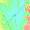
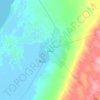
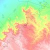
Click on a map to view its topography, its elevation and its terrain.


Benghazi
The largest Ottoman architectural monument in Benghazi is the late 19th-century Ottoman palace in El-Berka; built during the rule of Rashid Pasha II. The front elevation was completed in 1895, whilst the side sections were added later during Italian rule. The white and green structure houses 360 rooms; and is…
Average elevation: 24 m




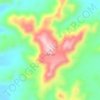

Gharyan
Gharyan experiences a hot semi-arid climate (Köppen climate classification BSh), with blazing summers and cool winters; its winters being one of the coldest in Libya. Due to its winter months being 5 °C or 9 °F degrees cooler than Tripoli, the locality sees a cooler variation of said climate, though its…
Average elevation: 505 m












Waw an Namus
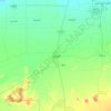
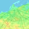
Also within the caldera are three small lakes and additional smaller water bodies, which together form a semicircle around the northern, eastern and southern flanks of the central cone. One of the lakes is north of the scoria cone, the second southeast and south and the third southwest. These lakes cover a…
Average elevation: 439 m

Derna
Libya has mostly a flat undulating plain and occasional plateau, with an average elevation of around 423 m (1,388 ft). Around 91 per cent of the land is covered by desert, with only 8.8 per cent agricultural land (with only 1% arable lands) and 0.1 per cent of forests. The major resources are petroleum, gypsum…
Average elevation: 157 m




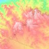
Tarhuna
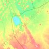
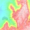
During the late 1950s and into the 1960s, the RAF established a bombing range on the outskirts of the town. It was manned by RAF personnel from nearby RAF Idris and it was used by Canberra bombers from various bases in Germany. The range consisted of a main control tower with full equipment for communication…
Average elevation: 360 m
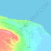
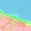




Nalut
Nalut District is located in the north western part of Libya, called Tripolitania. Most of the country has a flat undulating plain and occasional plateau, with an average elevation of around 423 m (1,388 ft). Around 91 per cent of the land is covered by desert, with only 8.8 per cent agricultural land (with…
Average elevation: 473 m
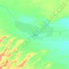
Bayda
The city of Bayda has a mild Mediterranean climate (Csb, according to the Köppen climate classification) with an average annual precipitation of 540 millimetres or 21 inches. It is famous for recurring snow falls and heavy rains, where the temperature rises in the summer time to 30 °C (86 °F), but in the…
Average elevation: 504 m



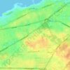


Nuqat al Khams
In the north, Nuqat al Khams has a shoreline on the Mediterranean Sea. To the west, it borders the Medenine Governorate of Tunisia. Domestically, it borders Zawiya in the east, Jabal al Gharbi in the southeast and Nalut in the southwest. Nuqat al Khams is a part of Triplotania geographical region of Libya that…
Average elevation: 37 m
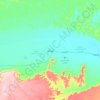

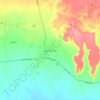


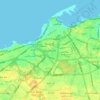


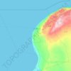
Benghazi
The largest Ottoman architectural monument in Benghazi is the late 19th-century Ottoman palace in El-Berka; built during the rule of Rashid Pasha II. The front elevation was completed in 1895, whilst the side sections were added later during Italian rule. The white and green structure houses 360 rooms; and is…
Average elevation: 69 m

Ghat
Libya has mostly a flat undulating plain and occasional plateau, with an average elevation of around 423 m (1,388 ft). Around 91 per cent of the land is covered by desert, with only 8.8 per cent agricultural land (with only 1% arable lands) and 0.1 per cent of forests. The major resources are petroleum, gypsum…
Average elevation: 751 m

Jabal al Gharbi
Libya has mostly a flat undulating plain and occasional plateau, with an average elevation of around 423 m (1,388 ft). Around 91 per cent of the land is covered by desert, with only 8.8 per cent agricultural land (with only 1% arable lands) and 0.1 per cent of forests. The major resources are petroleum, gypsum…
Average elevation: 451 m