
东属巴村 topographic map
Interactive map
Click on the map to display elevation.
About this map
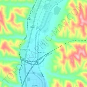
Name: 东属巴村 topographic map, elevation, terrain.
Location: 东属巴村, 离石区, 吕梁市, 山西省, 中国 (37.58133 111.12663 37.62133 111.16663)
Average elevation: 1,028 m
Minimum elevation: 944 m
Maximum elevation: 1,185 m
Other topographic maps
Click on a map to view its topography, its elevation and its terrain.