
Haccourt topographic map
Interactive map
Click on the map to display elevation.
About this map
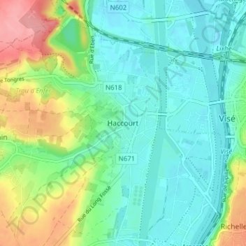
Name: Haccourt topographic map, elevation, terrain.
Location: Haccourt, Oupeye, Liège, Wallonie, 4680, Belgique (50.71398 5.64677 50.75398 5.68677)
Average elevation: 80 m
Minimum elevation: 50 m
Maximum elevation: 153 m
Other topographic maps
Click on a map to view its topography, its elevation and its terrain.