
Ahmar Mountains topographic map
Interactive map
Click on the map to display elevation.
About this map
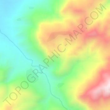
Name: Ahmar Mountains topographic map, elevation, terrain.
Location: Ahmar Mountains, West Harerghe, Oromia Region, Ethiopia (9.37333 41.20667 9.39333 41.22667)
Average elevation: 1,777 m
Minimum elevation: 1,517 m
Maximum elevation: 2,080 m
Other topographic maps
Click on a map to view its topography, its elevation and its terrain.
Mojo
Mojo (Oromo: Moojoo, Amharic: ሞጆ) is a town in central Ethiopia, named after the nearby Modjo River. Located in the East Shewa Zone of the Oromia Region, it has a latitude and longitude of 8°39′N 39°5′E / 8.650°N 39.083°E / 8.650; 39.083 with an elevation between 1788 and 1825 meters above…
Average elevation: 1,800 m