
Takum topographic map
Click on the map to display elevation.
About this map
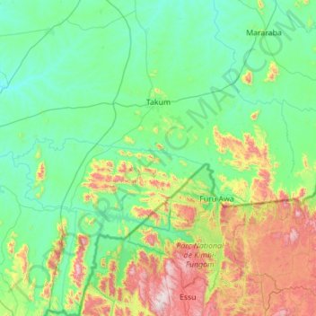
Name: Takum topographic map, elevation, terrain.
Location: Takum, Taraba State, Nigeria (6.50890 9.60154 7.60780 10.24692)
Average elevation: 394 m
Minimum elevation: 109 m
Maximum elevation: 1,595 m
Other topographic maps
Click on a map to view its topography, its elevation and its terrain.