
Obafemi Owode topographic map
Interactive map
Click on the map to display elevation.
About this map
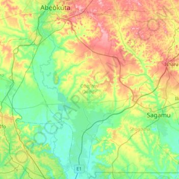
Name: Obafemi Owode topographic map, elevation, terrain.
Location: Obafemi Owode, Ogun State, Nigeria (6.68454 3.28048 7.15662 3.79444)
Average elevation: 68 m
Minimum elevation: -2 m
Maximum elevation: 220 m
Other topographic maps
Click on a map to view its topography, its elevation and its terrain.